The Instituto de Geografia e Ordenamento do Território da Universidade de Lisboa (IGOT-UL) is the School of Geography and Spatial Planning of the University of Lisbon. IGOT's mission is to ensure University education, research, dissemination of knowledge and provide technical and specialized research in geography, spatial planning and territorial organization, policy development and territorial cohesion, urban planning, environment, resources and risks, and on the socio-spatial dynamics. IGOT’s research unit is the Centre for Geographical Studies (CEG), the most prestigious national research centre in geography, established in 1943. With a team of 190 members, of which, 87 PhD graduates, CEG is a leading institution conducting research at the national and international level on cutting-edge subjects of contemporary Human and Physical Geography and Planning. CEG and IGOT are responsible for coordinating the Portuguese Polar Program (PROPOLAR), an interdisciplinary program that promotes Polar science and coordinates the logistics of the Portuguese research teams in the Arctic and Antarctica. Every year, PROPOLAR supports ci. 16 research projects in both Polar regions. CEG is the leading Portuguese institution on Polar Earth and Cryospheric sciences.
For Nunataryuk, the research will be conducetd within the Research Group on Climate Change and Environmental Systems (ZEPHYRUS) and especially by the Geocryology team. The group has international level expertise on permafrost research (geomorphodynamics and thermal state), remote sensing of the Polar regions (landcover, topographical surveying and mapping, and snow cover) and paleoenvironmental reconstruction. The excellency of CEG research has been systematically recognized by international evaluation panels and backed by several public institutions.
Main tasks in the project
The team of IGOT – Universidade de Lisboa will work on high resolution mapping of Arctic coasts at the Nunataryuk key sites and will evaluate coastal erosion rates by comparing project surveys, satellite imagery and existing data sets in WP2. It will also contribute on ultra high resolution mapping of small watersheds using CEG/IGOT’s UAVs, a field in which the team has developed several research activities in sites such as Svalbard, Northern Quebec, Antarctica, but also in the Andes and Cape Verde volcano. The team also has expertise on environmental chemistry and contaminants and will collaborate directly with VUT. CEG/IGOT provides the remote sensing infrastructure to lead this task and also the support from its experience acquired as operator of Polar logistics. The expertise of CEG/IGOT on mapping is also very relevant for the production of several deliverables of WP3.
IGOT-UL staff involved in Nunataryuk
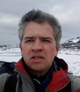
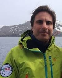
| PI in WP2 Dr. Gonçalo Vieira High resolution remote sensing and permafrost geomorphodynamics Centro de Estudos Geográficos, IGOT - Universidade de Lisboa Rua Branca Edmée Marques, 1600-276 Lisboa, Portugal Telephone: +351-210442936
|
 |
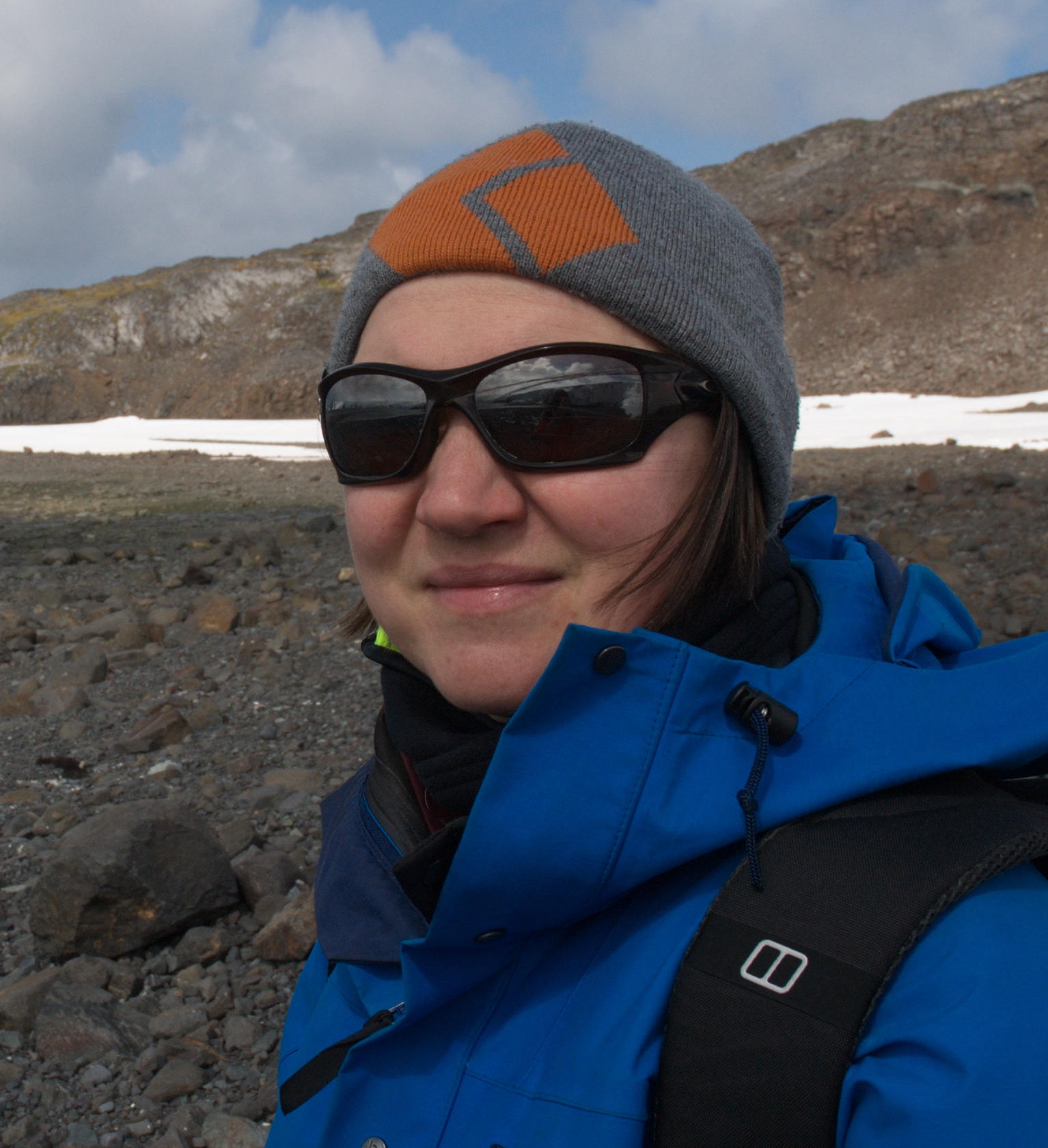
| High resolution remote sensing in optical and microwave imagery in WP2 Carla Mora Centro de Estudos Geográficos, IGOT - Universidade de Lisboa Rua Branca Edmée Marques, 1600-276 Lisboa, Portugal Telephone: +351-210443000
|
 |
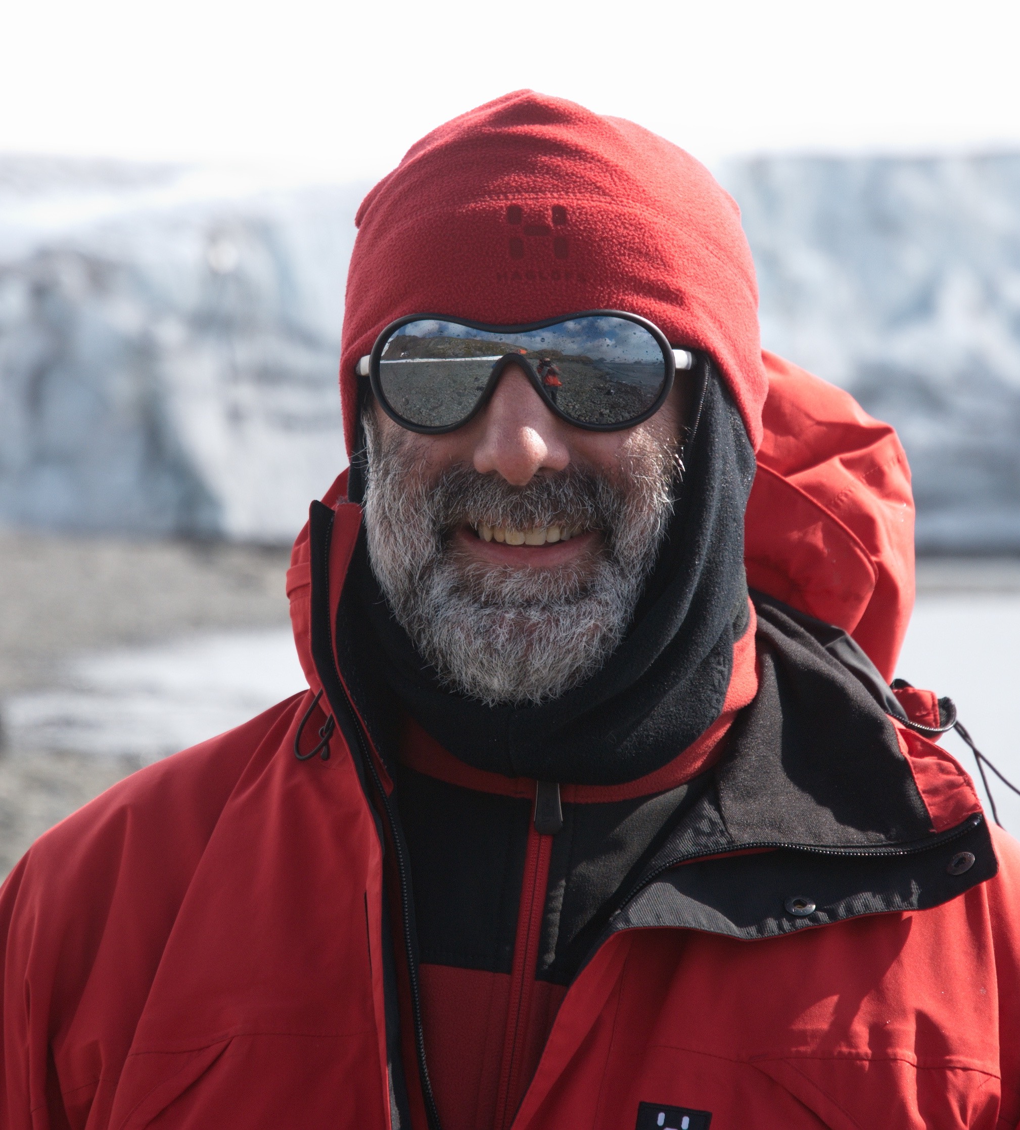
| High resolution remote sensing and pattern recognition in WP2 Pedro Pina Centro de Recursos Naturais e Ambiente, IST - Universidade de Lisboa Av. Rovisco Pais nº1, 1040-001 Lisboa, Portugal Telephone: +351-218417425
|
 |
| Trace element biogeochemistry in WP2 and WP3 João Canário Centro de Química Estrutural, IST - Universidade de Lisboa Av. Rovisco Pais nº1, 1040-001 Lisboa, Portugal +351-218419177 |
 |


