At the transition from Amundsen Gulf to the Beaufort Sea we reached our first sampling site at 412 m water depth. Now we need to find our work routine. This means that small groups take responsibility on water, sediment and optical measurements. And they will do very similar things again, and again and again.
In the beginngin, the ship got our coordinates where to go. When we reach the spot it goes like this:
First, we check out the seafloor if it is a good location where we can expect soft sediments for our coring tools. This is Dustin Whalen’s job. The ship stops when this is confirmed.
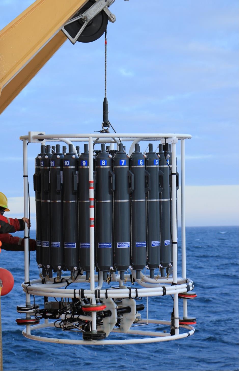
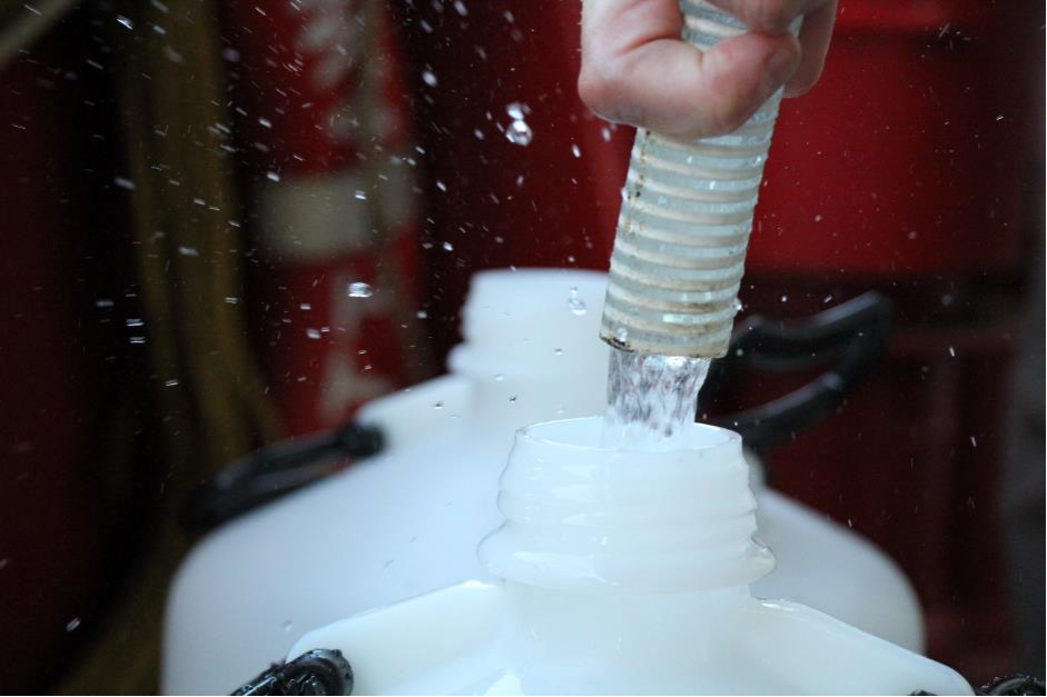
Then the CTD will go down together with the rosette. A CTD measures the salt concentration of the water (electrical conductivity [C]), water temperature (T), and water depth (D).These three parameters are measured in very narrow intervals from the sea surface until the sea floor – on the way down. On the way up, the rosette takes water samples at certain depths that we have pre-defined. A rosette is a carrousel of 24 bottles of 12 liters each. Once the CTD with the rosette are back on board a team consisting of Julie Lattaud, Taylor Priest and Antje Eulenburg pour the rosette bottles into our bottles. Then they bring all the water down into the laboratory. This is hard work. Some bottles weigh up to 25 kg.
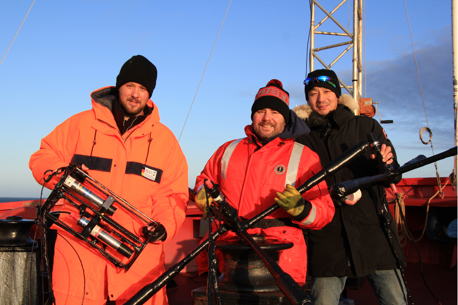
In the meantime, Atsushi Matsuoka and Bennet Juhls start their optical measurements. Measurements happen during daylight and include the light intensity illuminating onto the sea surface as well as the light emerging from the water column to the atmosphere. The first is influenced by atmospheric conditions such as cloud cover, whereas, the latter depends on waters constituents such as concentration and composition of organic matter. The ratio of emerging light to illuminated light provide information about what are included in the water column using the light measurement alone. This is exactly what optical sensor on satellites measure for the ocean from space. Atsushi and Bennet also take surface water samples from the CTD to validate satellite measurements.
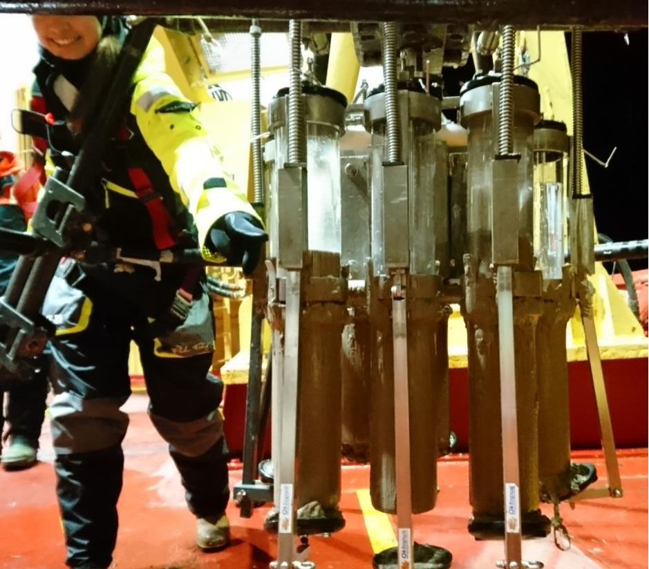
While all this is happening, the sediment team is getting ready. At every station we use the multicorer. A multicorer is a pretty large and heavy tool to retrieve up to eight sediment cores from the ocean floor at the same time (see blog entry before). Coast Guard crew and scientists lower the instrument with a crane and a winch until it reaches the ocean floor. Heavy weight pushes the eight core tubes into the sediment. Then it is pulled out again and going up towards us. Back on deck, a group of Matt O’Regan, Michael Fritz, Lisa Bröder, Daniel Rudbäck, Thomas Carson, André Pellerin, and Thomas Bossé Demers takes out the cores as quickly as possible. Sometimes a core is flushed on deck right before you can get a hand on it.
Deep coring takes place in selected locations only. This is a tremendous effort and takes heavy equipment. A 9-m long core barrel, which holds 9 m of plastic liner inside, is attached to 800 kg of weight on top of it. Heavy weight pushes the core barrel deep into the sediment on the sea floor. Thomas Carson and Maria Rodriguez together with at least six crew members are involved. A core with such a length of several meters may contain information about climate and environmental history of several thousands of years. Maybe right into the last ice age.
Before we dive into the details on what happens in the laboratories with all the water and all the mud from the ocean floor, we can say: First station completed!
You can follow our cruise at https://data.amundsen.ulaval.ca/


