The challenge is sometimes even greater when it comes to capturing children’s attention with subject matters that, at first glance, seem very complex. Remote sensing is a prime example. Speaking to kids forces you to boil down your science to its most fundamental, easiest-to-communicate parts. In essence, and simply put, remote sensing and satellite imagery are “taking pictures of the Earth from outer space”. Now that actually sounds kinda neat doesn’t it? It is with this idea of simplicity in mind and with enthusiasm that our team set out to talk to Inuvialuit Settlement Region youth about our Nunataryuk project, with specific twists and turns related to the Work Package 4 (WP4) Coastal waters programme. With the help from local members of the communities in Aklavik, Inuvik and Tuktoyaktuk, we were able to engage with youth of, for the most part, ages 9 to 12. Before describing our experience though, we’d like to start by acknowledging Annika Trimble at the Aurora Research Institute in Inuvik for her invaluable help in catalyzing these opportunities. We are sincerely grateful to you Annika for your ideas, passion, and many contacts. Also, to our readers, please note that we have not included pictures of youth in this blog out of respect for the children’s privacy.
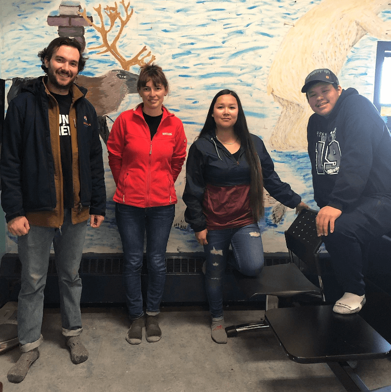
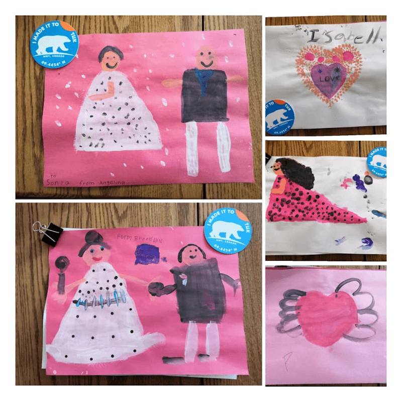
Our first engagement initiative took place at the Jason Jacobson Youth Center in Tuktoyaktuk on a Thursday evening after school. There, we were warmly greeted by Bella Ellias and Nathan “Muk” Kuptana, Youth Coordinator and Assistant Youth Coordinator, respectively (Figure 1). As we prepared the projector and focused the images on a small white section of a wall in the colorful center, a few kids gathered around us. We started by presenting ourselves, sharing our background and the places we all came from: Sofia Antonova from Russia, Thomas Bossé-Demers and Martine Lizotte from Quebec City. Sofia’s Siberian origins sparked the most interest and questions. Beyond our hope of sharing science with the kids, we were also interested in hearing what the kids had to say. We asked them questions about going back to school, about their teachers, about houses on pilings, about permafrost, about hunting and migratory animals, about summer bugs, about the ocean, and about wildlife in general. We shared with them an international scientific outreach project called “Frozen-Ground Cartoons”, that aims at making permafrost science more congenial and amusing for students (Bouchard et al. 2018, Nääs et al. 2017). The comic strip created by artists, communicators and permafrost scientists features augmented reality materials such as maps, photos, videos and 3D drawings. The 3D drawings of polar bears, caribous, and skidoos were a big hit among the kids present as they all took turns focusing in on the comic strip with a tablet featuring a special App that allowed them to visualize the augmented reality material. As the activity tapered off, we stayed with the kids a little while longer, chatting about anything and everything, participating in other activities prepared by Bella and Muk. Before leaving, some of the kids gave us beautiful drawings (Figure 2). Little treasures reminding us of our time with them.
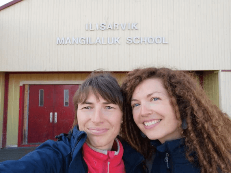
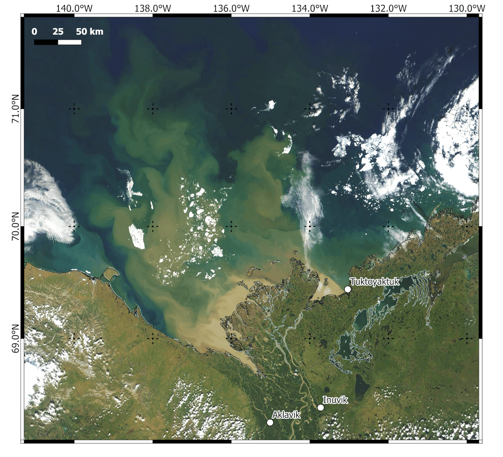
The next day, we had the great privilege of visiting 4 classes (Grades 4-5-6-7) at the Mangilaluk School (Figure 3). The opportunity was made possible by Principal Ephraim Warren, and the many teachers at Mangilaluk School in Tuktoyaktuk. While we went from class to class that morning, we saw some familiar smiling faces. To the initial first look at the 3D comic strip we had offered the day before, we added a few hands-on activities. Together with the students we filtered very murky Mackenzie Delta waters sampled by our field team the day before. We observed with them what happens to the color of the water as the suspended particles in the water are captured by the filter. We related these differences in color to what can be seen from space with satellites, much like this spectacular image of the Mackenzie Delta from NASA (Figure 4). We also talked about the strength of tools like Google Earth Engine: a freely accessible planetary-scale platform of satellite imagery and geospatial datasets. We zoomed in on Tuktoyaktuk’s coastline, we looked at a time lapse of the construction of the highway joining Inuvik and Tuktoyaktuk, we even looked at the sudden rise of cities such as Dubai and how these changes can all be seen from satellites in space. Changes in permafrost and in organic matter loading in the Mackenzie Delta can also be seen remotely, from space. Our goal was to make children aware that with a little curiosity and access to the internet, they can freely explore spatiotemporal changes in their surrounding environment, and all over the planet. When the activity ended, we passed by the Principal’s office to thank Mr Warren for his warm hospitality and were very surprised and pleased to receive gifts from the school. Thank you Mr Warren.
 Activities in Aklavik
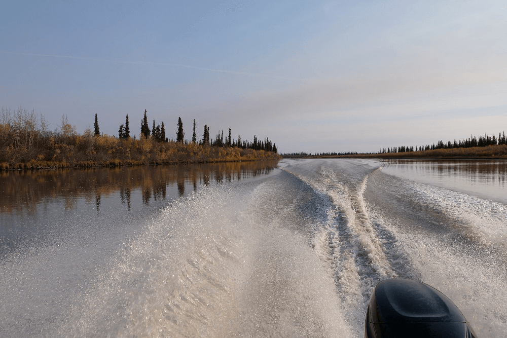
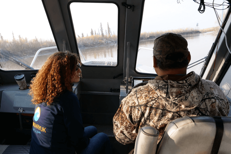
When our team first visited the Moose Kerr School in Aklavik in February 2019, we had driven the rental pick-up truck across the ice road from Inuvik. It was an experience in itself as the frosty landscapes passed us by and the spectacular Richardson Mountains suddenly appeared in the distance. On our second visit however, in September 2019, the landscapes had changed dramatically and we had time to admire the fall colors from the Tom Kalinek, a boat owned by Jimmy Kalinek (Only Way Outfitting) and piloted that day by Inuvik Hunters and Trappers Committee director and recipient of the ArcticNet Inuit Recognition Award, Douglas (Doug) Esagok (Figure 5). As a native to these lands and rivers, Doug shared his deep knowledge of the area and its people. As he effortlessly zoomed through the meandering rivers with the boat, we were fascinated as he pointed out at the fauna and flora, at the houses and cabins along the way, and at certain areas where riverbanks had particularly eroded in time (Figures 6 and 7). He had several compelling stories to tell, many of them about hunting prowess but also several about growing up in a community where the entire hamlet took care of its kids. We were reminded of the African proverb “It takes a village to raise a child”. 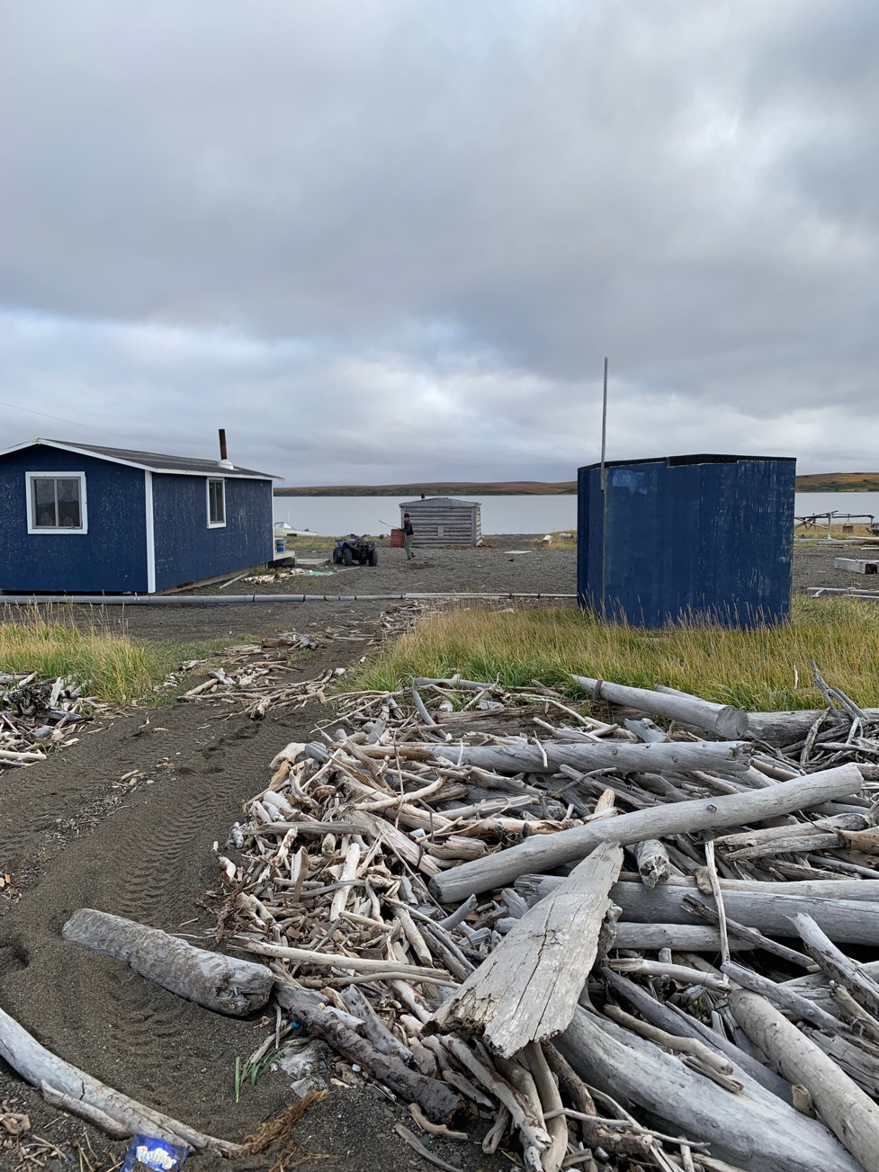
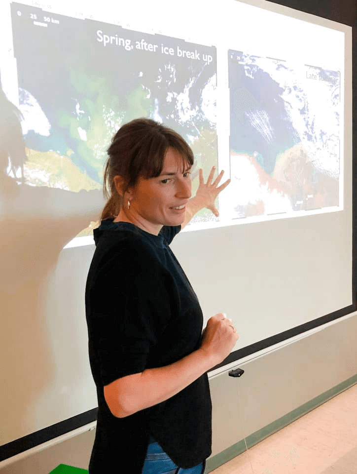
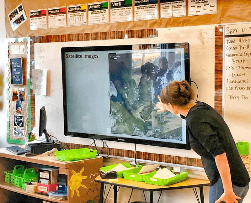
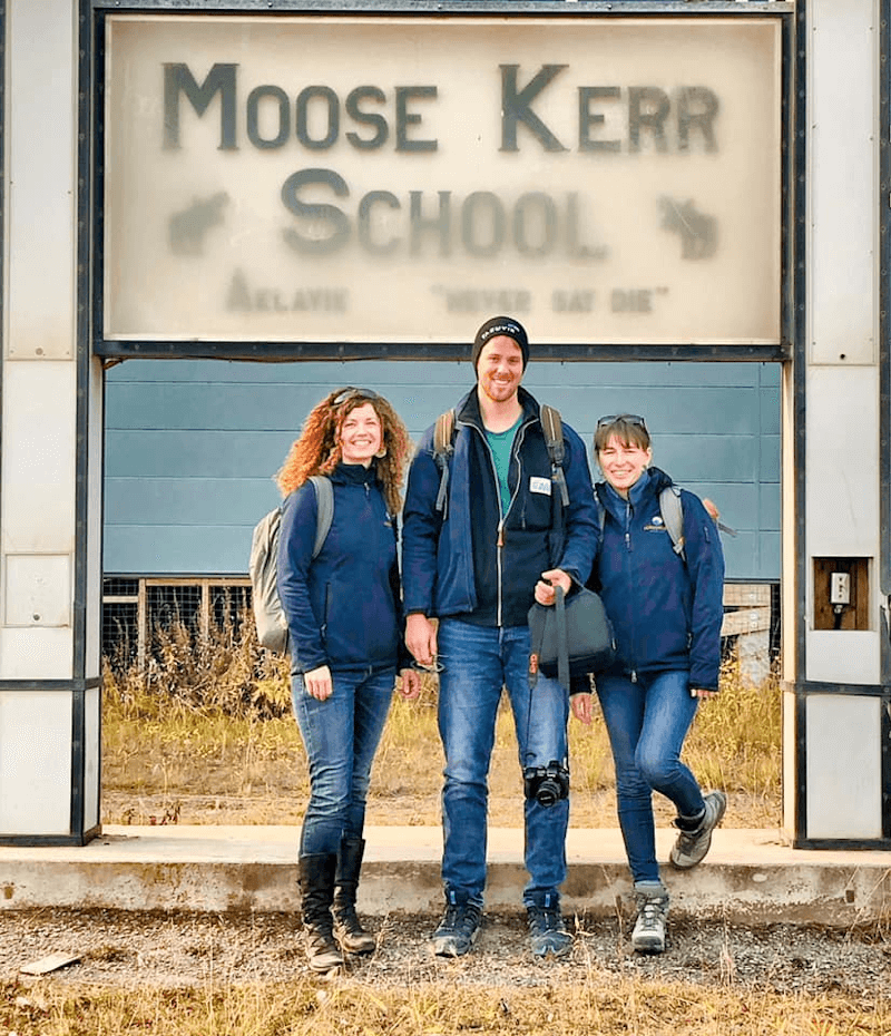
After about 2 hours of twists and turns on the river we arrived on the shores of Aklavik, made our way to the nearby Moose Kerr School (Figure 8) and met with Principal Vivian Wirth. She kindly welcomed us and showed us to the class room where the presentation would take place. There we met with several teachers including Cecilia McLeod, wife of Jordan McLeod, one of our partners during the sampling of Mackenzie Delta waters. It was a nice moment of reminiscing on our field activities. We moved the tables around to be able to welcome several classes at once, and made sure our presentation was visible on the digital board (Figure 9). The students came in and we quickly began the presentation. As we asked them questions, we were intrigued by the overlap in subjects and concerns the children brought up. Hunting, fishing, trapping. Those were subjects that had been at the forefront of discussions in Tuktoyaktuk, as well as here, in Aklavik. Hunting, fishing, trapping. In other words: food security. When we discussed this with Doug on our way back to Inuvik, he substantiated this pattern with his own experience of youth outreach: reciprocity of interests at a regional scale. Interestingly, the reason why Jimmy Kalinek could not take our team himself on his boat was intimately linked to this idea of food security and education. Indeed, he had prior outreach engagements. Jimmy has been involved in youth education for 10-12 years now. Every year, he takes several groups of students from Inuvik out on a 5-day nature trip. The goal? Self-sustainability and responsibility for oneself: the essence of education really. Hunting moose, geese. Fishing. Getting to know the land. Making a fire. Cooking outdoors. Building a secure camp. Watching out for bears. Without denying the importance of things like algebra, physics and chemistry, is there anything more essential than making sure that our children grow up to be self-sufficient individuals, as well as independent and confident adults one day?
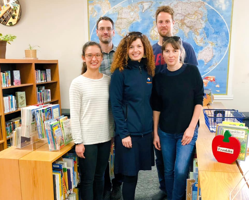
With the Tuktoyaktuk and Aklavik outreach completed, we set out for our final engagement initiative with excitement. It is with the invaluable help of Kolin Murray, Library Services Manager at the Centennial Library (Figure 10), that we were able to organize a final activity in Inuvik (Figure 11). On a Wednesday afternoon, right after school, we set up our activity in a side room of the library. The minutes on the clock ticked away quickly in relative silence, 15h30, 15h35…. and suddenly a bustling flow of children. In this final engagement with youth we once more used the tools we had developed and fine tuned: a short presentation on remote sensing and permafrost, a hands on activity of filtering muddy Mackenzie Delta waters and the augmented reality cartoon Frozen-Ground. By taking these activities out of the classroom and into an informal setting we hoped to raise children’s awareness of ongoing changes around them, including the thaw of permafrost. But we also hoped to inspire them and dispatch a bit of excitement about science. We hoped to show the kids that getting interested in the world that surrounds them is mystifying and deeply, deeply cool. And the tools to study the world, like satellite imagery, are fascinating and increasingly accessible. At the end of the day, we may only have reached a few kids, and that is ok and good. If recent history and Greta Thunberg’s journey has taught us anything is that it only takes one kid’s jump in the ocean to create a global wave.
